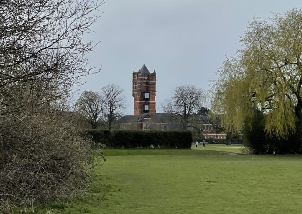
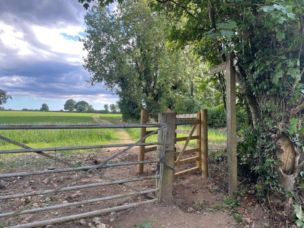
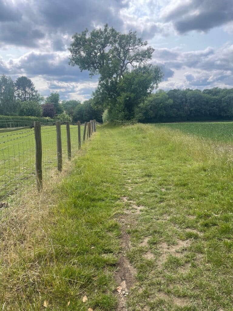
The walks are self-guiding and include notes on local history and places of interest which you will see on your walk.
They were developed by a Chaldon resident, Richard Payne, and are a lovely gift to local walkers. They were initially planned as a fund raiser for the Friends of Chaldon Church, a charity that helps maintain the historic church building and its wall painting. If you make use of one of the walks, you might like to enter the church and make a small donation as a thank you.
Introduction
Be prepared for the weather conditions on your walk and wear appropriate footwear and clothing. If you bring a dog it will need a lead. The walk descriptions include warnings where you are crossing roads or are likely to be near livestock.
Chaldon’s footpaths and bridleways are clearly signed and well maintained, but over time things change. The walks were tested in October 2025. Please let us know in the unlikely event that you find that any changes are necessary.
New to Chaldon?
Chaldon village is located on the North Downs in the Tandridge District of Surrey. It borders on the south of London and is just within the M25.
Being designated as “Green Belt” and with a number of Sites of Special Scientific Interest (SSSI) it is an excellent location for walking in open countryside, woodland and accessible farmland.
Be sure to visit the Church which is open to visitors every day all year round, except on Easter day and Christmas day. The Church has a unique 12th Century Doom mural which must be seen. Every Sunday afternoon during British Summertime – from 3pm to 4:30pm – you can enjoy tea and cakes in the church room or in the churchyard. Please see the Church website for details.
The walks, distances and estimated times
4 walks (routes, notes and maps) are available now:
Pilgrims Way, Chaldon 4.1 miles (6.7 km), 2.25 hours Open route notes and map HERE
Happy Valley, Netherne and Alderstead Heath 3.9 miles (6.3 km), 2 hours. Open route notes and map HERE
Coulsdon Common and Kenley Airfield 4.25 miles (7 km), 2.25 hours. You can extend this walk by walking the airfield heritage trail, which takes an hour. Open route notes and map HERE
Alderstead Heath, Shepherds Hill and Dean Lane railway tunnel airshafts 4.3 miles (7 km), 2.25 hours Open route notes HERE Open map HERE
2 further walks will be added later in 2026 or early in 2027.
Happy Valley and Farthing Downs 3.4 miles (5.5 km), 2 hours
Happy Valley, Netherne and Farthing Downs 6.5 miles (11.5 km), 3 hours
How to get to Chaldon Church
Church Lane, CR3 5AL. Church Lane is off Rook Lane, B2031
what3words: parts, swan, much
OS Explorer Map 146. Map Reference: 309557
Church website: https://www.chaldonchurch.co.uk/
There is a small parking area outside the church, except when there are services on Sunday morning. Parking may be very limited if there is a wedding, baptism or funeral taking place.
The nearest train stations are Caterham and Coulsdon South. It will take an hour to walk from either station to the church. The walk from Coulsdon South station is the more scenic, crossing Farthing Downs and Happy Valley. The footpaths to the church are well signed.
It is easier to cycle from Coulsdon South than cycle from Caterham. The road goes across Farthing Downs on Ditches Lane, which becomes Church Lane when you reach the church.
Bus Numbers 411 and 611 (on weekdays) stop on Rook Lane at the crossroads of Hilltop Lane and Church Lane. From the bus stop walk down Church Lane for 1 Km to the church.